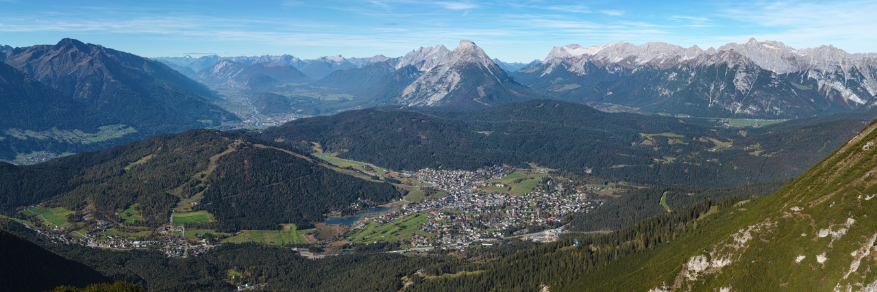
Valley Structure
The Ötztal extends roughly 65 kilometres south-west from the Inn valley near Imst, narrowing into high-alpine terrain toward Timmelsjoch pass. Villages — Sölden, Obergurgl, Längenfeld — occupy glacial outwash terraces with alluvial groundwater.
Elevation gain within short horizontal distance creates dramatic climate gradients supporting both valley agriculture and glacier tourism.
Glacial Systems
Retreating glaciers — including sectors near Ötztal peaks — document twentieth-century warming. Glaciologists monitor mass balance; tourism operators adapt ski seasons with snowmaking and lift upgrades to higher elevations.
Glacial melt supplies summer streamflow for hydropower and spa thermal recharge pathways in fractured bedrock systems.
Alpine communities invest in adaptive infrastructure as permafrost thaw and rockfall frequency increase on high trails.
Settlement and Transport
Road and tunnel development linked Ötztal to Innsbruck and Italian Südtirol markets. Winter road maintenance enables year-round wellness tourism alongside seasonal skiing.
Agricultural meadows in lower valley sections produce hay, dairy and barley supporting Tyrolean cuisine in spa hotels.
Protected Landscapes
Alpine conservation zones restrict development above treeline. Hiking and ski tourism operate under permits balancing recreation with habitat protection for ibex and golden eagles.
Interpretive centres link geography education to glacier observation platforms accessible via cable cars.